Photographer: | Rights management: Ethnologisches Museum, Staatliche Museen zu Berlin
Attribution - NonCommercial - ShareAlike 4.0 International
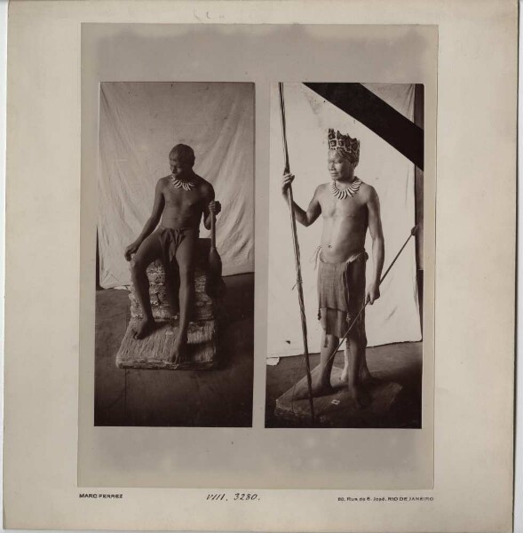
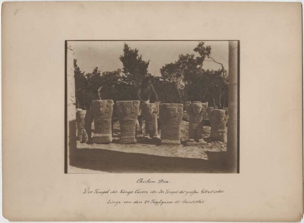
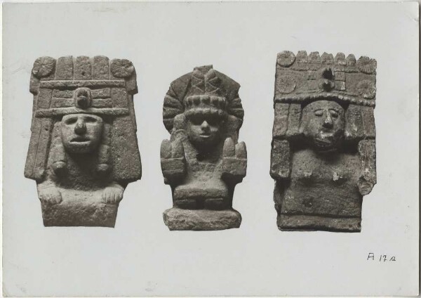
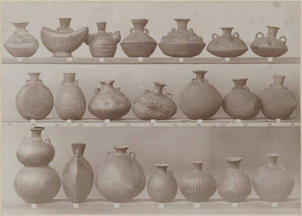
The name of this item is missing in its original language. If you know the name or have any comments, please use the form to get in touch with the institution that provided the data.
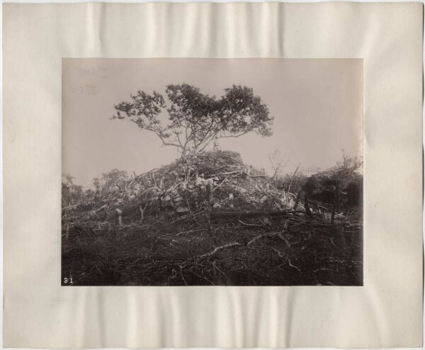
The Mlagarassi valley near the Gottorp salt works.
Sticky note: "The Mlagarassi valley near the Gottorp salt works. The house with the scaffolding in the front centre of the picture stands above the Njansa - Sool spring. Beyond the river, the village of Marapamba lies on a terrace some 15 metres above sea level. Behind it, the tributary valley of the Rutschugi River is visible. In the right-hand corner of the picture is a water wheel that drives the Sool pump. To the left of the waterwheel are several islands in a row; the second is Lubundussi Island. Width of the valley at the salt works about 1 1/4 km, depth about 75 metres. The slopes of the valley consist of sandstone at the top and shale at the bottom. At the bottom of the valley there is gneiss with a north-north-westerly strike, into which amphibolite and gabbro veins mostly run in the same direction. The brine emerges from these."
This content was machine-translated
Data Provider
Ethnologisches Museum
Show only fields containing data
Cataloguing data
Object type
positives (photographs)
Dimensions
Height: 31 cm
Width: 25 cm
Height: 7 cm
Width: 28 cm
Width: 25 cm
Height: 7 cm
Width: 28 cm
Current location
Ethnologisches Museum, Staatliche Museen zu Berlin
Inventory number
BGAEU 270
Provenance and sources
when
15 March 1911
where
Malagarasi (Mlagarassi) Valley [Fluss]
who
Friedrich Tornau (de.fiz.ddb.model.ddbobject.WhenType$Begin@3d200864 - de.fiz.ddb.model.ddbobject.WhenType$End@df2424e)
Information about the record
Legal status metadata
Related objects

The name of this item is missing in its original language. If you know the name or have any comments, please use the form to get in touch with the institution that provided the data.
The name of this item is missing in its original language. If you know the name or have any comments, please use the form to get in touch with the institution that provided the data.
The name of this item is missing in its original language. If you know the name or have any comments, please use the form to get in touch with the institution that provided the data.
The name of this item is missing in its original language. If you know the name or have any comments, please use the form to get in touch with the institution that provided the data.
The name of this item is missing in its original language. If you know the name or have any comments, please use the form to get in touch with the institution that provided the data.
The name of this item is missing in its original language. If you know the name or have any comments, please use the form to get in touch with the institution that provided the data.
The name of this item is missing in its original language. If you know the name or have any comments, please use the form to get in touch with the institution that provided the data.
The name of this item is missing in its original language. If you know the name or have any comments, please use the form to get in touch with the institution that provided the data.
This content was machine-translated