In addition to the technically required cookies, our website also uses cookies for statistical evaluation. You can also use the website without these cookies. By clicking on "I agree" you agree that we may set cookies for analysis purposes. You can see and change your cookie settings here.
This collection item does not have a name in the language of origin. If you know the name or have comments, use this form to contact the data-providing institution.
Label affixed: "Mouth of the Lunangwa River on the western Tanganyika coast, Congo State. The estuary with its steeply rising valley edges of up to 175 metres makes a fjord-like impression. The length of the estuary from the edge of the lake to the Alluvion is about 2 kilometres. The centre of the valley was plumbed at about 1 km; no bottom was reached at a depth of 170 m. It can therefore be assumed that the valley was formed by a transverse fracture. The edges of the valley consist of mottled quartz porphyry. The alluvion protrudes about 3 metres above the water and drops steeply to the east under water, so that anchoring the steamer was very difficult."
This collection item does not have a name in the language of origin. If you know the name or have comments, use this form to contact the data-providing institution.
Save
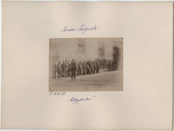
Guard in front of the presidential palace in Caracas
This collection item does not have a name in the language of origin. If you know the name or have comments, use this form to contact the data-providing institution.
Save
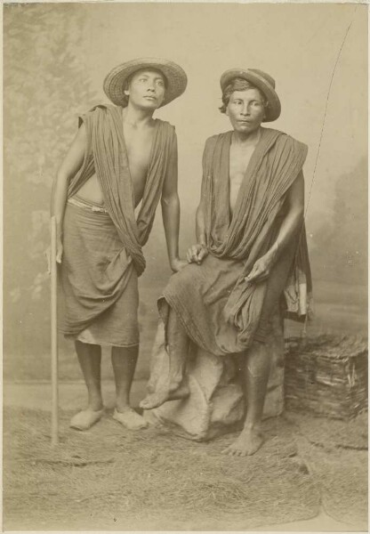
Men of the Orinoco
This collection item does not have a name in the language of origin. If you know the name or have comments, use this form to contact the data-providing institution.
Save
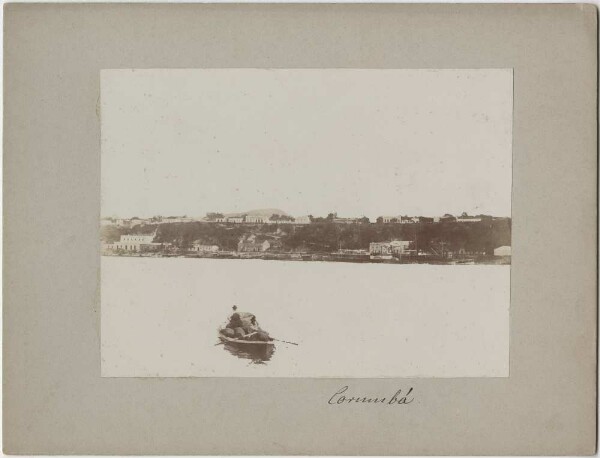
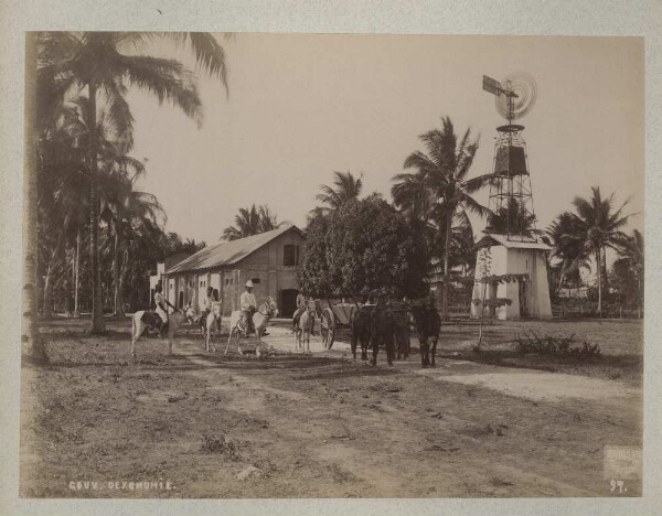
Corumbá
This collection item does not have a name in the language of origin. If you know the name or have comments, use this form to contact the data-providing institution.
Save
Flooded landscape at Lake Coari
This collection item does not have a name in the language of origin. If you know the name or have comments, use this form to contact the data-providing institution.
Save
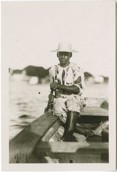
Vaquero (Film: "Primeval world in the jungle")
This collection item does not have a name in the language of origin. If you know the name or have comments, use this form to contact the data-providing institution.
Save
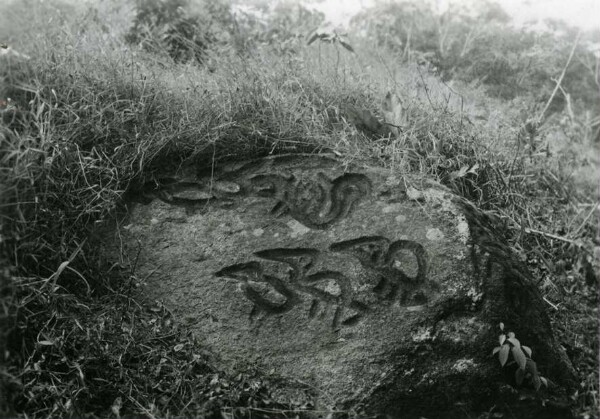
Donama, in the north-western Sierra. Remains of the Tairona culture
This collection item does not have a name in the language of origin. If you know the name or have comments, use this form to contact the data-providing institution.
Save
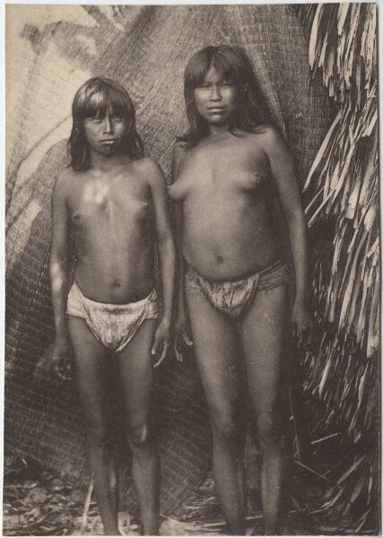
"Woman and girl of the Karajá with bast aprons"
This collection item does not have a name in the language of origin. If you know the name or have comments, use this form to contact the data-providing institution.
Save
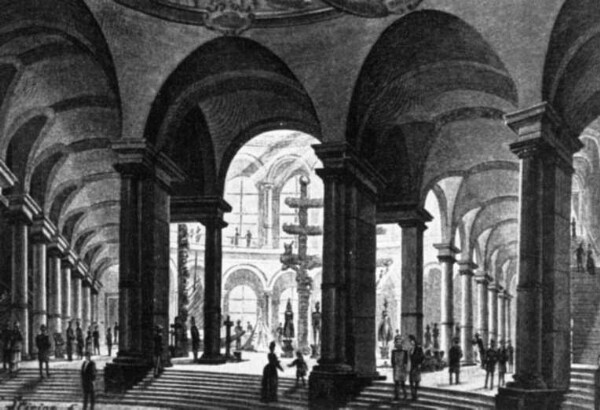
View of the atrium of the Museum of Ethnology (Königgrätzer Straße 120)
This collection item does not have a name in the language of origin. If you know the name or have comments, use this form to contact the data-providing institution.
Save
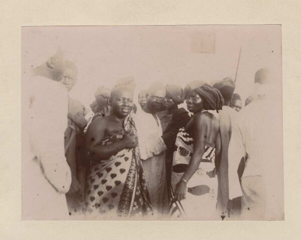
On Ramashan
This collection item does not have a name in the language of origin. If you know the name or have comments, use this form to contact the data-providing institution.
Save
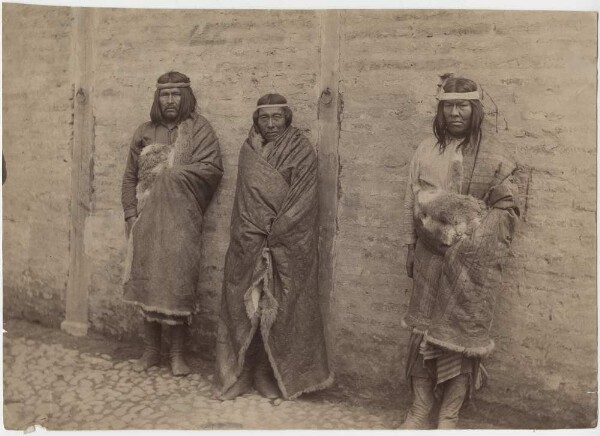
Indians from Patagonia: Cacique Chumagal, Canario and Puro
This collection item does not have a name in the language of origin. If you know the name or have comments, use this form to contact the data-providing institution.